Booking choice: The Sólheimajökull glacier hike, from $104 per person. Check dates Tour details
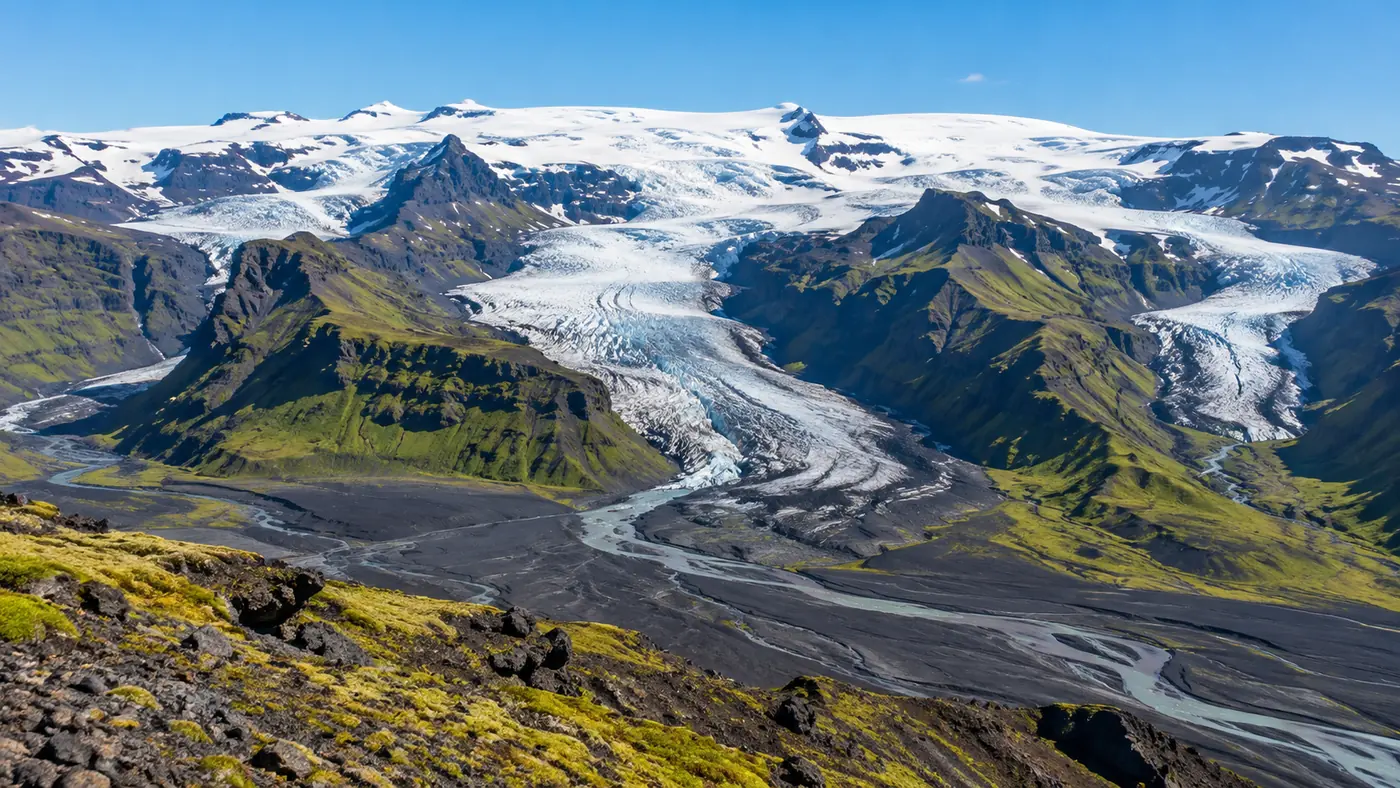
Iceland's glaciers come in two shapes. Ice caps sit on the highlands like lids, and outlet glaciers spill from them down into the valleys. Sólheimajökull, where the hikes on this site take place, is one of those tongues: it flows from the Mýrdalsjökull ice cap, which in turn covers the Katla volcano.
This guide answers the questions people search for most: what the glaciers are called and what jökull means, what Vatnajökull is, the highest mountain, the famous volcanoes, how deep Jökulsárlón is, and when to see Diamond Beach.
The quick answer
Jökull is Icelandic for glacier. The largest is Vatnajökull (about 7,600 km²), then Langjökull, Hofsjökull and Mýrdalsjökull; together the glaciers cover about 10% of the country. Hvannadalshnúkur (2,110 m), the highest peak, sits on Vatnajökull's rim. Jökulsárlón, about 280 m deep, is where its icebergs float, and Diamond Beach is across the road.
What are Iceland's glaciers called?
The big four are Vatnajökull, Langjökull, Hofsjökull and Mýrdalsjökull. Glaciers cover about 10% of Iceland, per the Natural Science Institute of Iceland.
The names are descriptive: each ends in -jökull, and the first part usually says where the ice is or what it sits on. Outlet glaciers get their own names too, which is why you will see Sólheimajökull, Kötlujökull and Breiðamerkurjökull on maps even though they belong to bigger ice caps. The areas below are the Institute's 2023 figures; they shrink a little every year.
| Glacier | Area (2023) | Where | What to do there |
|---|---|---|---|
| Vatnajökull | About 7,600 km² | South-east | Hikes at Skaftafell, winter ice caves, Jökulsárlón |
| Langjökull | About 820 km² | West highlands | Snowmobiles and jeep trips |
| Hofsjökull | About 795 km² | Central highlands | Remote, few tours |
| Mýrdalsjökull | About 510 km² | South Coast, over Katla | Sólheimajökull hikes, the Katla ice cave |
| Drangajökull | About 136 km² | Westfjords | Remote |
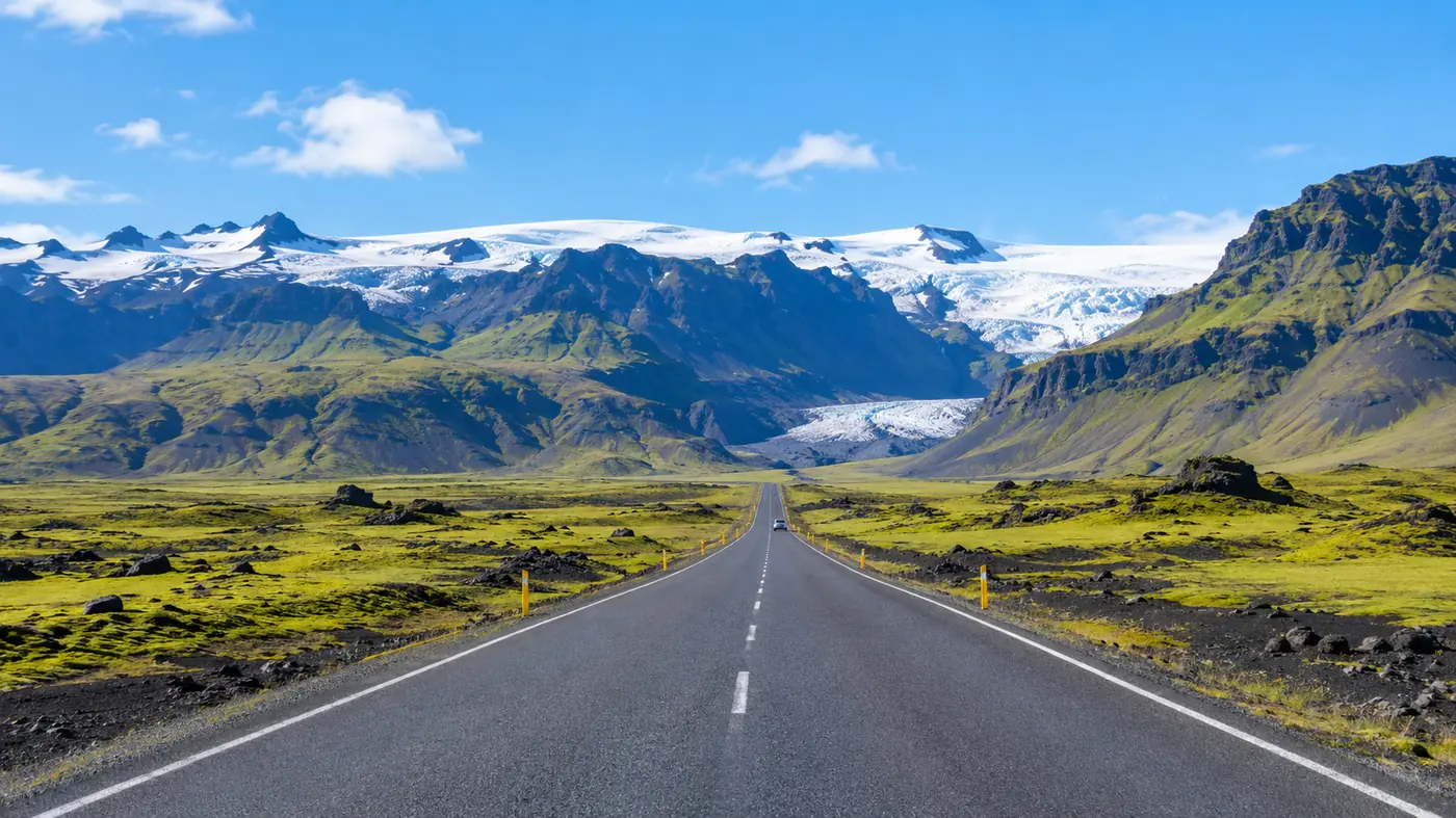
| Eyjafjallajökull | About 100 km² | South Coast | Super jeep trips; seen from Route 1 |
What does jökull mean?
Glacier. Every Icelandic glacier name ends in -jökull, and the first half describes it: Vatnajökull is the glacier of lakes, Eyjafjallajökull the glacier of the island mountains.
- Vatnajökull: literally "glacier of lakes", sometimes Vatna Glacier in English.
- Eyjafjallajökull: the glacier of the Eyjafjöll, the island mountains; the islands are probably the Westman Islands offshore.
- Jökulsárlón: jökull plus á (river) plus lón (lagoon): the glacier river lagoon.
Two more words help on maps. Jökulsá is a glacier river, and a jökulhlaup is a glacial flood, the burst of meltwater when a volcano erupts or heats up under the ice. Sólheimajökull's river has carried Katla floods towards the sea in the past.
What is Vatnajökull?
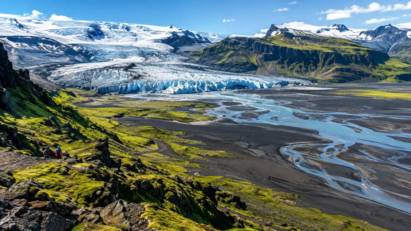
Iceland's largest glacier: an ice cap of about 7,600 km² in the south-east, about 3,000 km³ of ice, at the heart of a UNESCO-listed national park.
Visit South Iceland puts it at about 8% of the country with an average thickness of about 400 m, and calls it the largest glacier by volume in Europe. Not every source agrees on the European ranking, so treat it as Iceland's largest and one of the largest in Europe. The Natural Science Institute of Iceland measured about 7,600 km² in 2023.
Vatnajökull National Park was founded on 7 June 2008 and covers about 14% of Iceland. UNESCO inscribed it as "Vatnajökull National Park - dynamic nature of fire and ice" in 2019. Skaftafell, Jökulsárlón and the winter ice caves all sit around its edge; our best glacier hike guide compares a hike there with Sólheimajökull.
The largest glacier in the world is a different scale altogether. Lambert Glacier in Antarctica is usually called the world's largest glacier, about 96 km wide and over 435 km long.
What is the highest mountain in Iceland?
Hvannadalshnúkur, 2,110 m, on the rim of the Öræfajökull volcano at the south edge of Vatnajökull.
The official survey of August 2005 measured 2,109.6 m; older maps say 2,119 m. The peak is a summit on the crater rim of Öræfajökull, an ice-covered volcano inside Vatnajökull National Park, and climbing it is a long guided mountaineering day, not a hike.
On the South Coast, the peaks you see from Route 1 are lower: Visit South Iceland gives Eyjafjallajökull 1,651 m and Mýrdalsjökull 1,493 m at their highest points.
What is the most famous volcano in Iceland?
Eyjafjallajökull, for the 2010 ash cloud. Hekla is the historic one, and Katla, under Mýrdalsjökull, is the one geologists watch most closely on the South Coast.
- Eyjafjallajökull: erupted from 14 April 2010 after a flank eruption at Fimmvörðuháls from 20 March, and its ash closed much of north-west Europe's airspace from 15 to 21 April 2010.
- Hekla: about 1,490 m, called the Gateway to Hell in medieval Europe; it last erupted from 26 February to 8 March 2000.
- Katla: under the Mýrdalsjökull ice cap, at least 21 eruptions in 1,100 years, the last in October 1918, per the Icelandic Met Office. Sólheimajökull is one of its outlet glaciers.
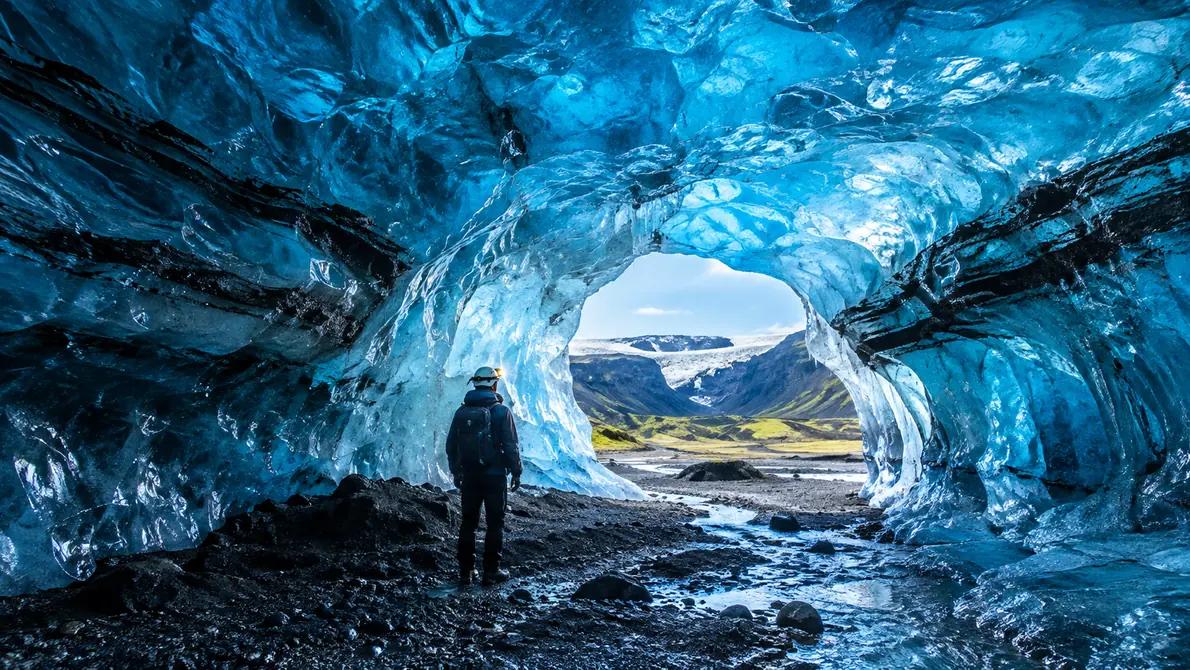
The Met Office monitors Katla around the clock. Check vedur.is before a trip on Mýrdalsjökull; operators follow those warnings. The ash in the ice is the reason the Katla ice cave looks black and blue.
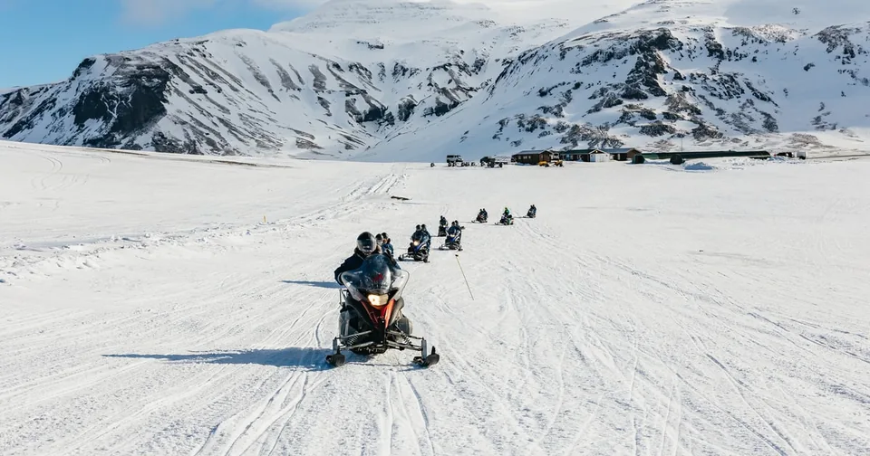
Walk on ice from the Mýrdalsjökull ice cap, striped with ash from Katla, with a certified guide.
Check dates for the Sólheimajökull glacier hikeWhere is Jökulsárlón and how deep is it?
On Route 1 at the foot of Breiðamerkurjökull, an outlet of Vatnajökull, about 370 km from Reykjavík. It is up to about 280 m deep, reported as Iceland's deepest lake.
The lagoon formed around 1934 to 1935 as Breiðamerkurjökull retreated, and now covers about 25 km². Route 1 crosses its short outlet to the sea on a bridge. From Sólheimajökull it is about three hours' drive east, 4.5 hours from Reykjavík, which makes it a very long day trip or the first night of a longer South Coast tour.
Can you see icebergs in Iceland? Yes: here and on Diamond Beach, in every month. Do not expect them in the lagoon at Sólheimajökull, which is small and changes year to year. The Jökulsárlón boat cruise runs from April to October when conditions allow, per the day-trip listing, and guests often see seals between the icebergs. Regina Joselyne, in October: "We saw seals and sailed through the Jökulsárlón lagoon."
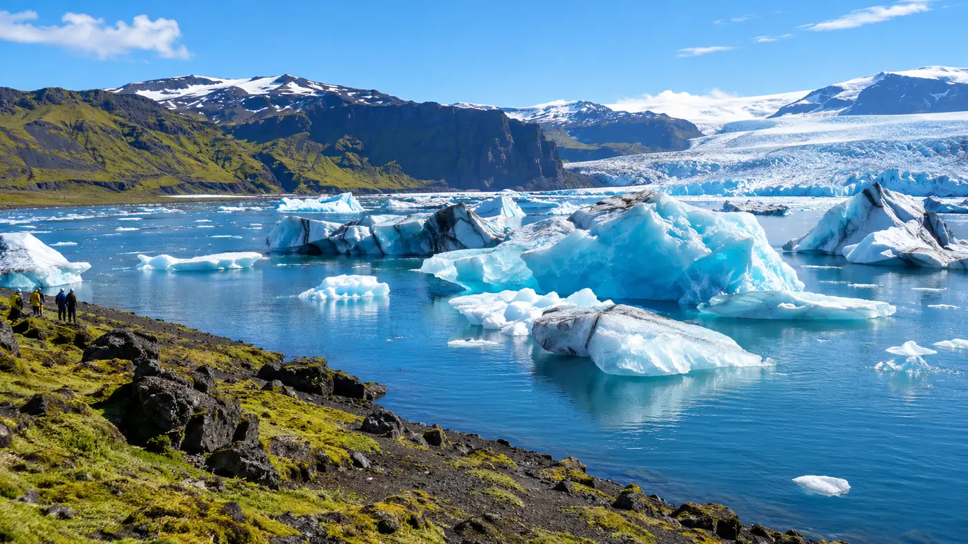
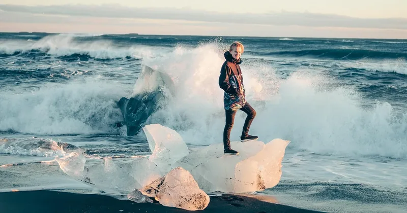
A full day from Reykjavík to the icebergs of Jökulsárlón and Diamond Beach, with an optional boat on the lagoon.
Explore the Jökulsárlón and Diamond Beach day Tour detailsWhere is Diamond Beach and when is the best time to go?
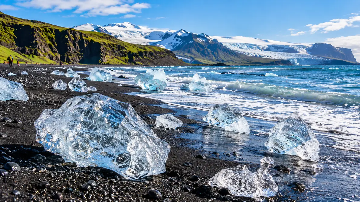
Across Route 1 from the Jökulsárlón outlet, on the black sand where icebergs wash ashore. Go early or late in the day for low light on the ice.
The beach is also called Eystri-Fellsfjara. Icebergs drift out of the lagoon, through the channel under the bridge, and the waves throw pieces back onto the sand, where they glitter against the black. How much ice there is depends on the tides and the wind, so it changes daily.
In winter the sun stays low all day, which suits photos but leaves only about 4 hours of daylight in late December; a winter day trip from Reykjavík spends most of it on the road. In summer you have the light for a slower day. Watch the waves here too: this is the same open Atlantic as Reynisfjara. Charlotte called "diamond beach [...] the highlight! A long day but definitely glad we did it!"
Which glacier in Iceland is the most beautiful to visit?
For a walk on the ice from Reykjavík, Sólheimajökull: blue ice striped with black ash, two hours from the city. For scale and icebergs, the outlet glaciers of Vatnajökull.
It depends on what you want to stand on. Sólheimajökull is the easy logistics pick: about 160 km from Reykjavík, hikes all year from the car park, and black ash bands in blue ice. Vatnajökull's tongues at Skaftafell are bigger and quieter, but four to five hours away. Jökulsárlón has no walking on the ice, only icebergs and a beach.
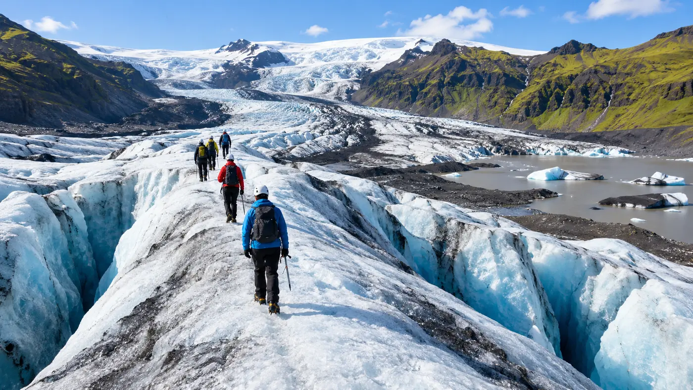
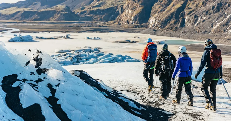
A standard Sólheimajökull hike takes 3.5 to 4 hours with roughly 1.5 to 2 hours on the ice, most hikes from age 8. In 2026 the walk to the ice takes up to an hour, and operators decide each day which route is safe. The Sólheimajökull hike guide has the full picture, and the glacier edge walk takes all ages without crampons.
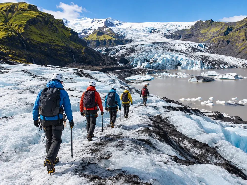
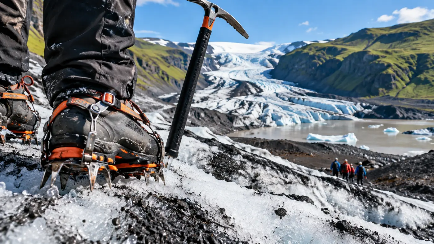
Crampons, axe, harness and helmet on, then ash-striped blue ice with a certified guide, from the glacier car park.
Explore the Sólheimajökull glacier hike Tour detailsFrequently asked questions
What does jökull mean?
Jökull is Icelandic for glacier. Every Icelandic glacier name ends in it: Vatnajökull is the glacier of lakes, Eyjafjallajökull the glacier of the island mountains.
What is the largest glacier in Iceland?
Vatnajökull, about 7,600 km² in 2023 and about 3,000 km³ of ice, covering roughly 8% of the country in the south-east.
How deep is Jökulsárlón?
Up to about 280 m, reported as Iceland's deepest lake. It covers about 25 km² and formed in the 1930s as Breiðamerkurjökull retreated.
Can you see icebergs in Iceland?
Yes, at Jökulsárlón and on Diamond Beach in every month. The small lagoon at Sólheimajökull is not a place to count on icebergs.
Ready to book
Choose your hike
Free cancellation up to 24 hours before on every option. Prices are from-prices in USD and move with the season.
Sólheimajökull Glacier Hike, Meet at the Glacier
- Certified glacier guide
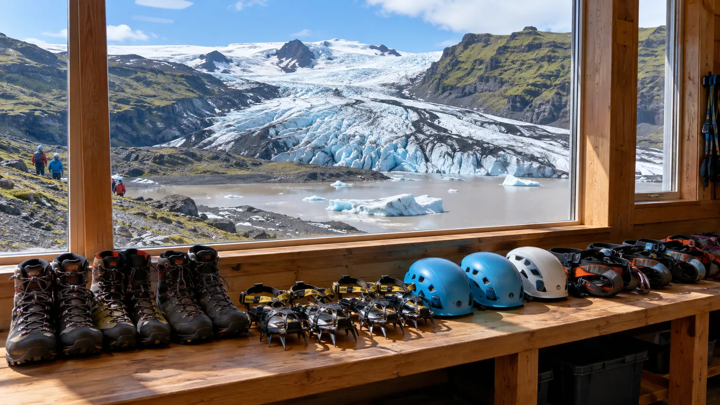
- Crampons, ice axe, helmet and harness
- Small group
Jökulsárlón & Diamond Beach from Reykjavík
Icebergs and ice on black sand, far east
From Vík: Katla Ice Cave & Super Jeep
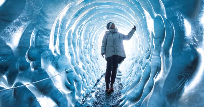
A black-and-blue ice cave, all year per the listing